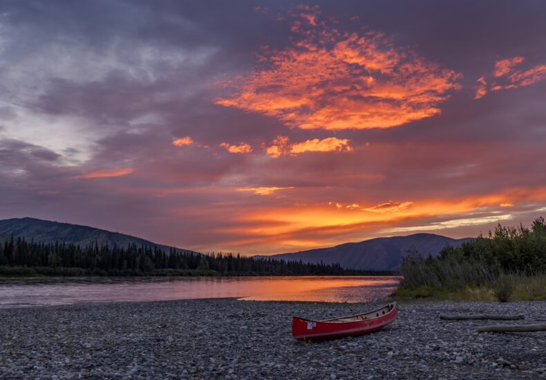
Down the Yukon River on a Canoe
Intro
Canada. One of those countries, if not the country, known for its wilderness. Forests as far as the eye can see, empty valleys, unclimbed mountain peaks, pristine coastlines, square kilometers of untouched nature. Like many before us, we were drawn to Canada for these very reasons. As “trip preparation,” we watched a documentary on Netflix one cool, dark winter evening in Zurich about an Englishman who paddled a river in the Canadian wilderness for a month with his 60-year-old father. We were immediately excited and said to ourselves: If they can do it, we can do it too! Canada offers plenty of options for such endeavors, with its countless rivers and lakes (Canada holds 20% of the world’s fresh water). So the question was less whether we could fulfill this dream, and more where exactly we should go. After arriving in Whitehorse, the capital of the Yukon, we did some research online and visited two canoe rental shops to find out what would be suitable. It was clear to us that we wanted to be on the road for at least a week, that we wanted to leave civilization far behind, and that we wanted to paddle on a river (not a lake, which would certainly also be beautiful, but wouldn’t have matched our desire to cover a certain distance). Since the Yukon is so sparsely populated, many canoe trips require at least one direction to be taken by seaplane. That would have been next level, but it would have significantly exceeded our budget. Moreover, as absolute canoe novices, we didn’t want to be too far from civilization in case something went wrong. So we were looking for an easily accessible option, and we finally found it with the Yukon River.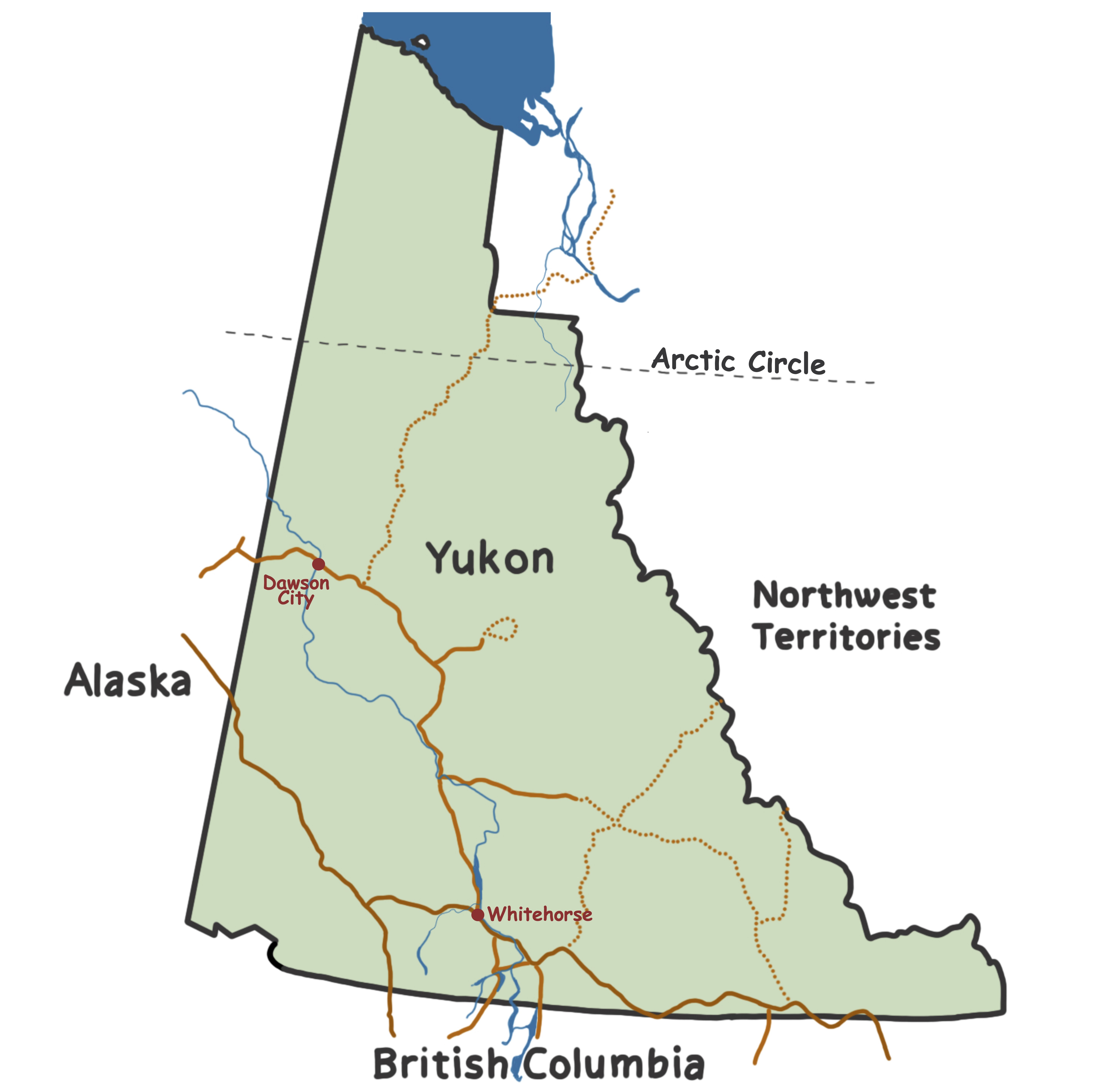
The Yukon river originates in British Columbia, crosses the Yukon, and eventually flows into the Bering Sea in Alaska.
The Yukon river, paradoxically, originates in northern British Columbia, then flows northwest through the Yukon, continuing into Alaska, where it flows further westward before emptying into the Bering Sea. The stretch from Whitehorse to Dawson City is well-suited for beginners, as there are only rapids at Carmacks halfway through, which are still manageable for inexperienced paddlers and, fortunately, are located near a road in case of emergency. The total distance of approximately 750 km can be covered in 12 to 16 days (although it should be noted that the fastest teams in the Yukon River Quest, the longest canoe race in the world, complete the same route in under 40 hours). In Whitehorse, you can directly launch your canoe from the city, paddle off, and disembark in Dawson City. The best part, however, is that you can drop off all your equipment in Dawson and don’t have to worry about transporting it back to Whitehorse (which, with a 3-meter canoe and no personal vehicle, would be quite a challenge).Preparations
After finding our trip, we now had to prepare. This meant: planning the schedule, reserving equipment, obtaining analog and digital maps, keeping an eye on wildfires along the route, buying and packing food, waterproofing clothes, charging batteries, getting equipment ready, and parking our car in a safe location (unfortunately, there are quite a few break-ins in Whitehorse, and our car would have been an easy target during the two weeks). For the stretch from Whitehorse to Dawson, there is a river map (hand-drawn, sketch-style) that we bought, which estimates the trip to take 12 to 16 days. To be on the safe side, we planned for 16 days and bought enough food accordingly. Just deciding what to eat for the next 16 days is a task you shouldn’t underestimate — at least if, like us, you want a tasty and balanced diet. We visited three different stores until we finally found everything we wanted and needed. The nice thing was that, unlike hiking, we didn’t have to hold back much. The weight and volume of food don’t matter as much in a spacious canoe as they do when you have to carry everything on your back (as we usually do on such wilderness trips). So, we bought tomatoes, cucumbers, naan bread, tofu, and paneer, and packed a small frying pan. Lacking a better place, we drove to the library parking lot in Whitehorse and spread everything out on the bed in our car to pack the food. We opened pasta packages, filled lentils into Ziplock bags, added spices, estimated nut amounts (we didn’t have a scale), and counted energy bars, tomatoes, and eggs. When we finally saw the huge mountain of food in front of us, we wondered if it would all really fit and whether we might have overdone it — after all, it wouldn’t be the first time. We said to ourselves: better to arrive in Dawson completely stuffed than totally exhausted, so we packed it all. Last but not least, we had to charge all the batteries and power banks. The electronics we carried were considerable: phones, camera, e-reader, satellite messenger, GoPro, headphones. In total, we took four power banks to make sure we wouldn’t run out of power on the way.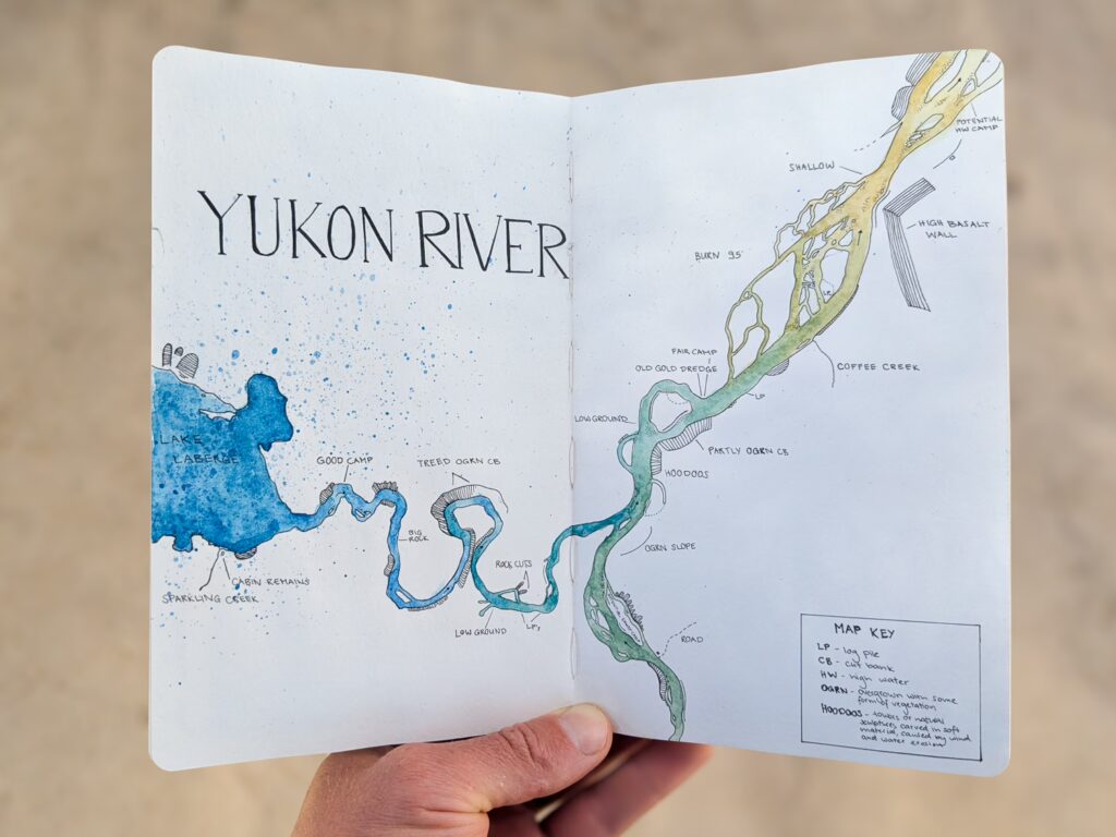
The river maps we had were in this style, but nowhere near as beautiful as the ones painted by Lisa.
For the canoe rental, we decided on the cheaper of the two providers we had looked into and simply hoped that the money we saved wouldn’t later be needed as filler material for any potential holes in our canoe. For about 600 CHF, we got a 3-meter-long river canoe, three paddles (one extra, in case we lost the others), two life jackets, a sponge and bucket for emptying and cleaning the canoe, a 100-liter dry bag, and one of those iconic blue 60-liter barrels for the food.En route
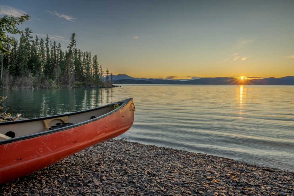
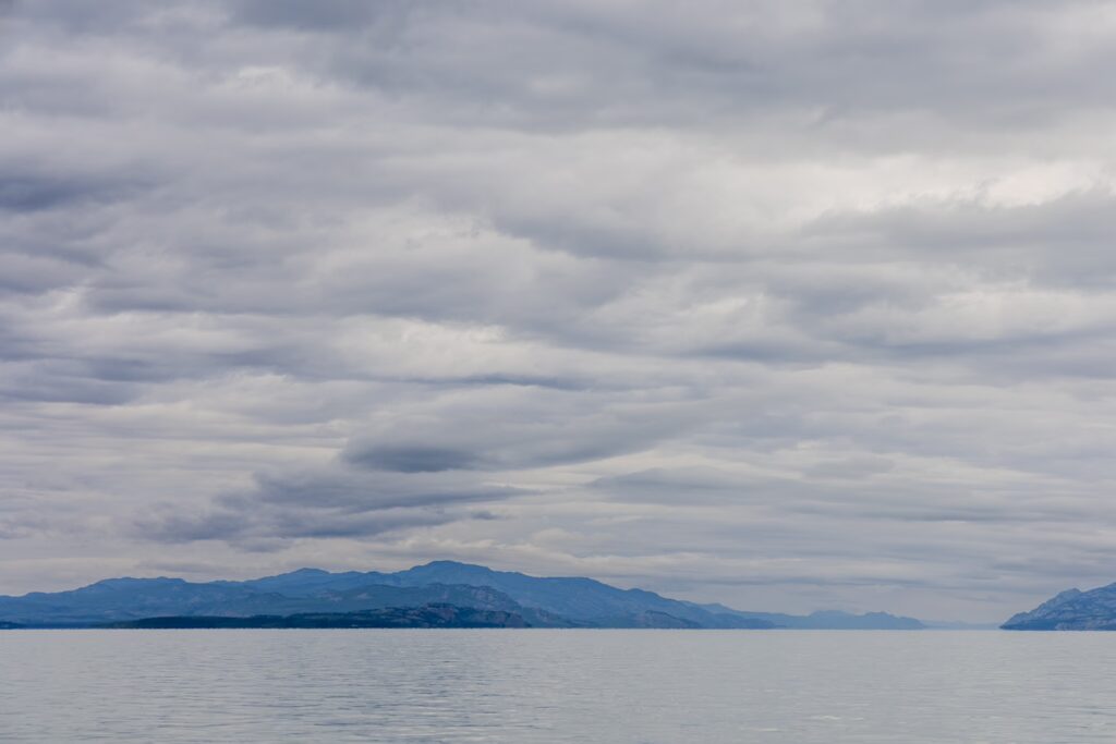
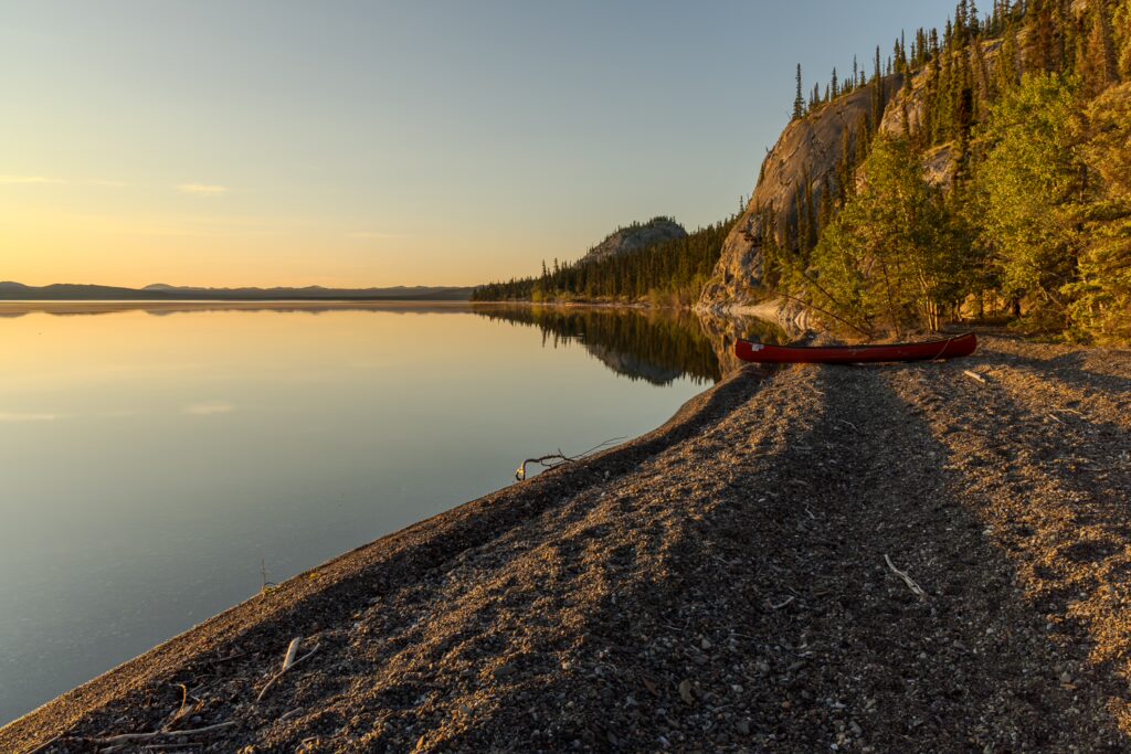
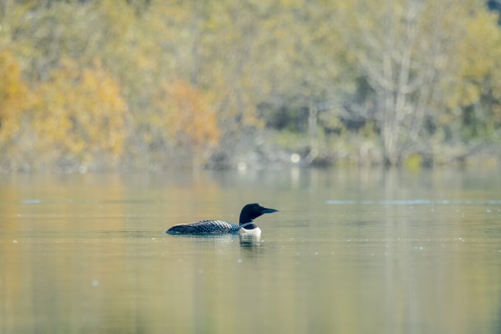
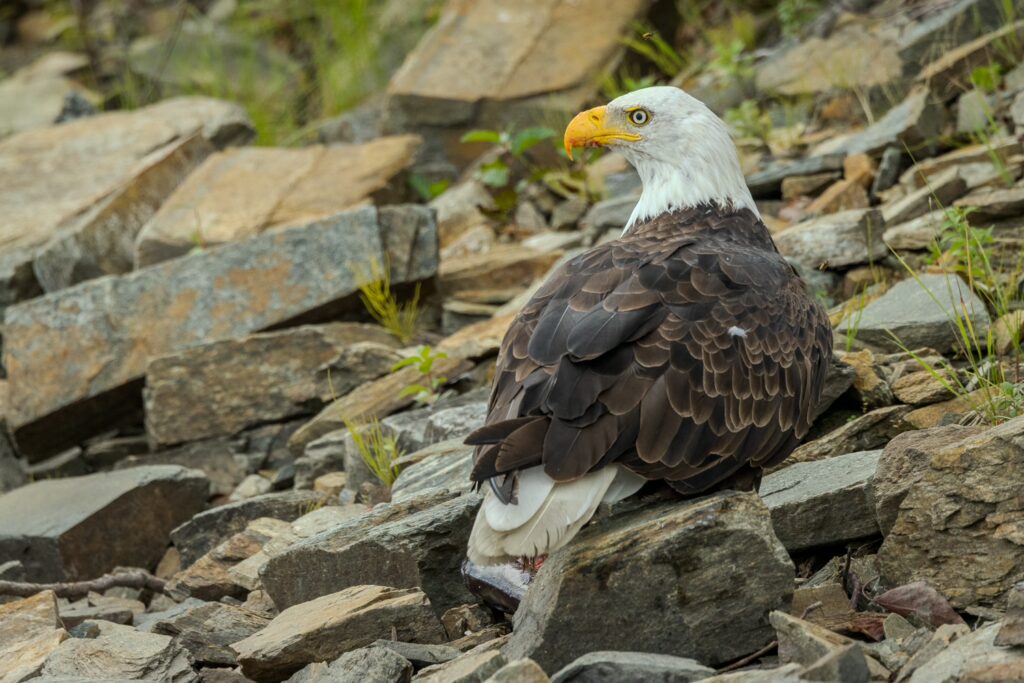
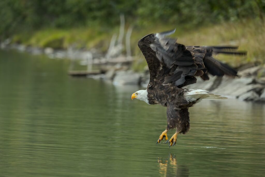
On August 2nd, we finally unloaded all our gear at the riverfront rental, parked our car in a storage unit, and then walked back through the industrial area. We briefly had an employee from the rental explain what to consider when packing and paddling, what to do in case we capsized unexpectedly, and where and how to deposit our canoe and gear in Dawson City after our arrival. Then it was time to pack our canoe for the very first time. When loading a canoe, it’s important to balance the weight and then tie everything together and securely to the canoe with a rope. This way, the canoe can be steered well, and if we had to take an involuntary cold bath, at least the gear wouldn’t scatter all over the place. We would then grab the rope, swim to the shore, pull the gear ashore, and reorganize ourselves. Then we pushed off from the shore, paddled slightly upstream, and with a controlled left turn, entered the current. We’re on our way! The city quickly fades behind us, first the library and the urban waterfront path, then the small nature reserve, and finally the industrial area where our car is parked. Soon, we are out of the city, and the traces of civilization disappear from both sides of the riverbank. Near the shore, it’s often so shallow, and the water so clear, that we can clearly see the riverbed. Together with the trees passing by along the shore, it gives the impression that we’re moving really fast. We’re euphoric and excited to discover the world in these next two weeks in a way that’s new to us. A glance at our map reveals the river’s course ahead of us, and with GPS and the map on our phone, it’s easy to navigate. Time passes quickly, and thanks to the relatively strong current, we’re making good progress. We pass the first bald eagles, who curiously observe us from the banks or a branch. They will be our constant companions for the rest of the trip. Soon, Lake Laberge appears on the map ahead of us. This is a key point, which we will pass in the next three days. On our river map, various campsites are marked. Before the river flows into the lake, we aim for the next one.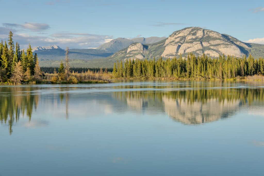
A normal day on the river
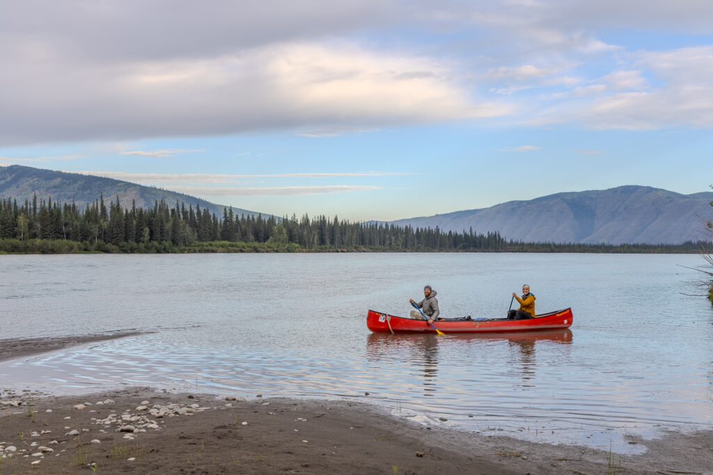
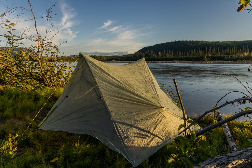
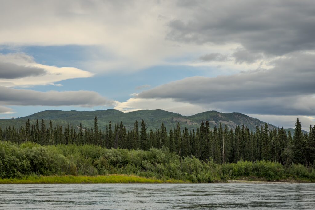
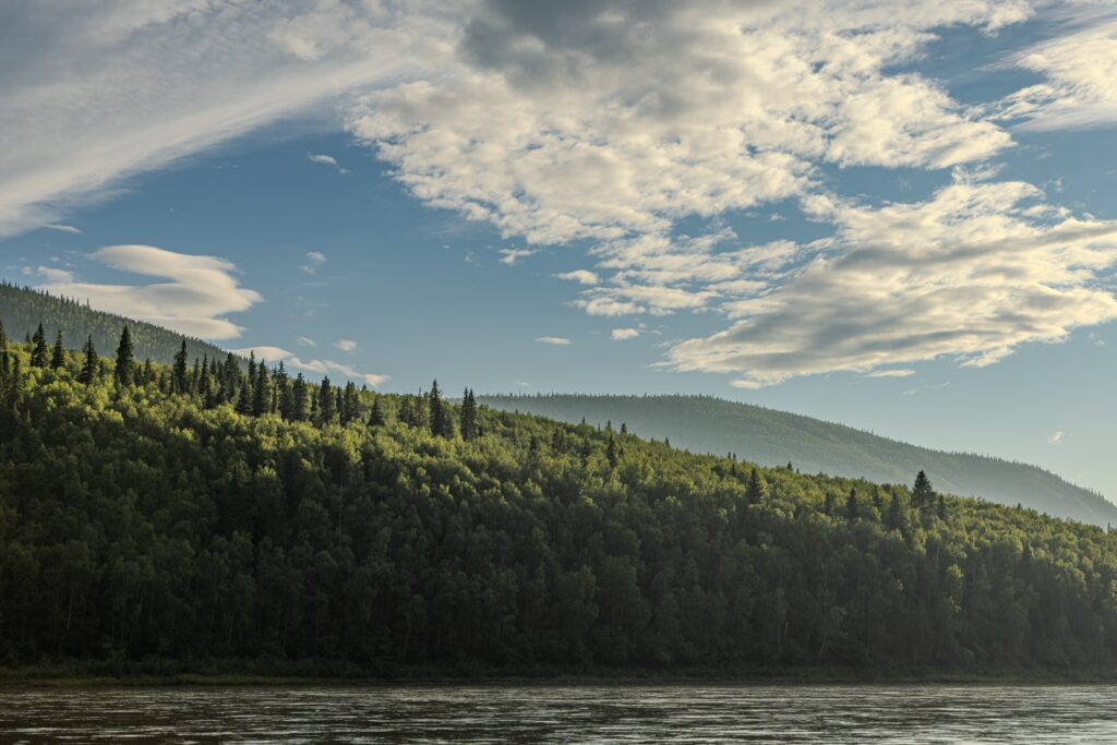
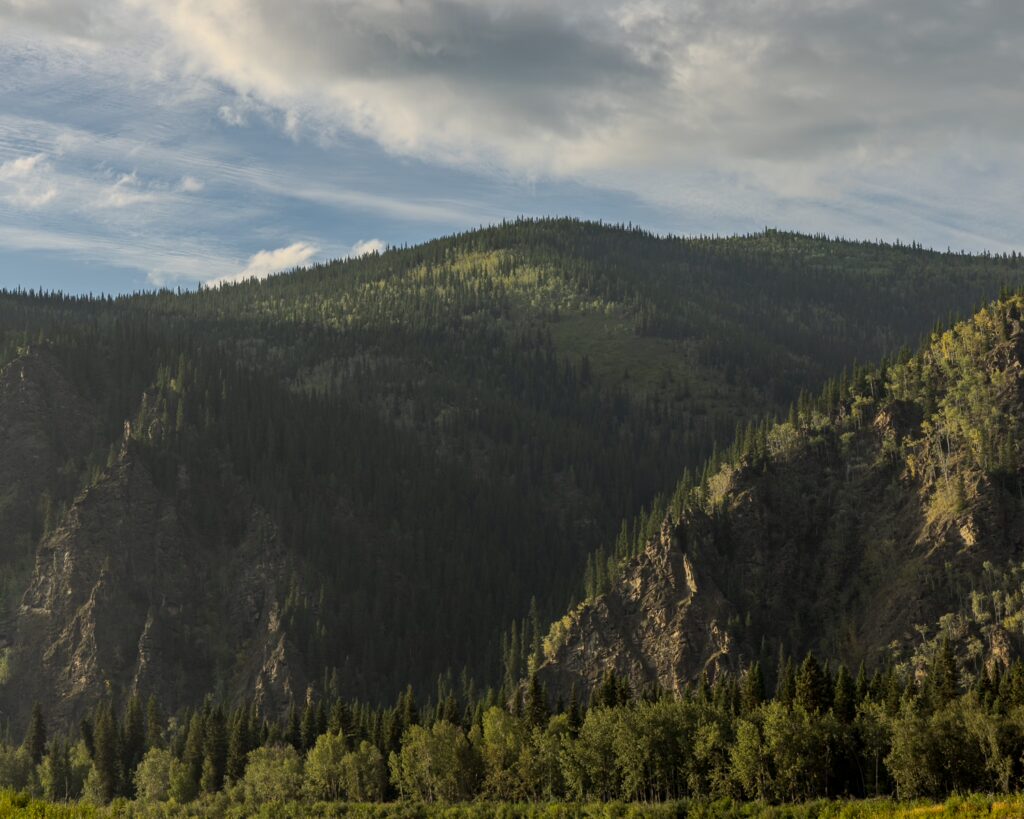
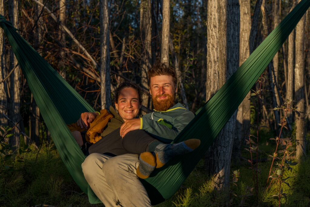
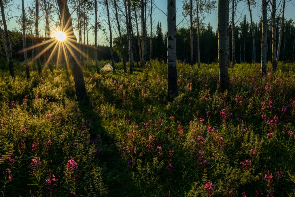
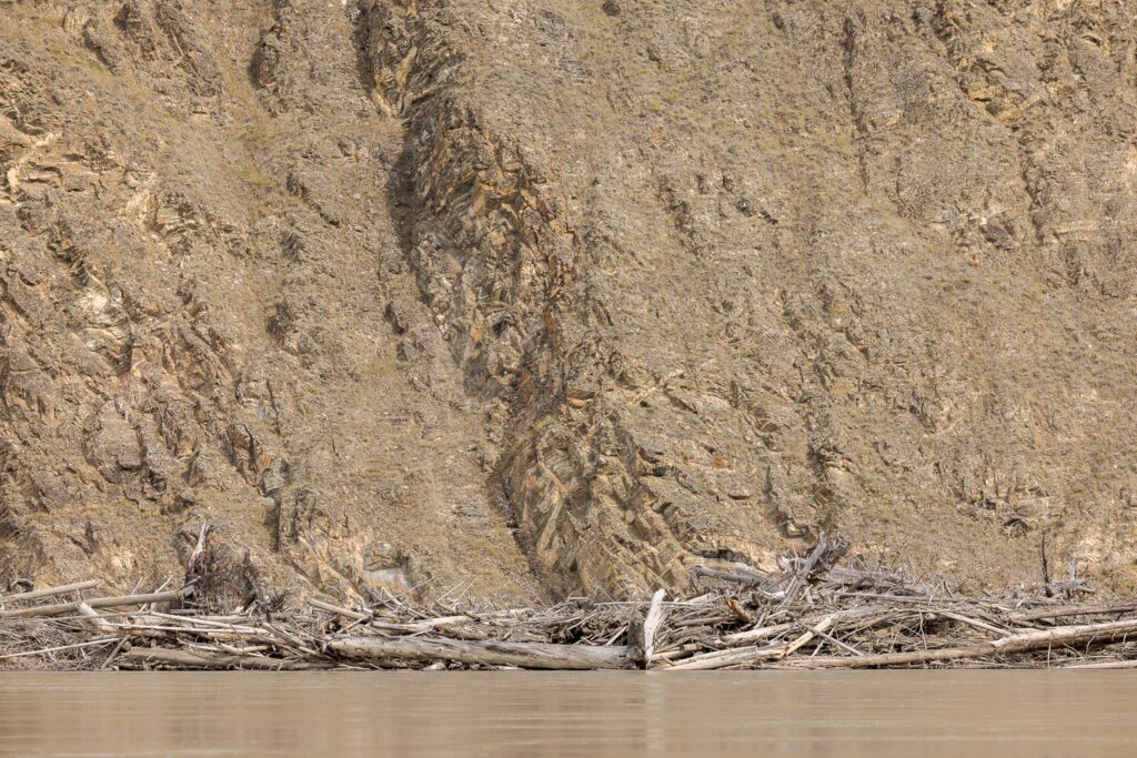
On the river, we quickly settled into a routine. In the mornings, we would crawl out of our sleeping bags, still a bit sleepy, and first make tea and coffee to wake up. Usually, one person would pack up the tent while the other prepared the drinks. Sleeping bags and pillows were packed up, the air let out of the camping mats, and then the tent was taken down. Everything was packed into dry bags, backpacks, and the barrel, carried down to the canoe, and the gear was stored evenly and securely tied to the canoe with a rope. After a final check to make sure we hadn’t left anything behind in camp, we would set off. We pushed off from the shore, paddled into the current, and let ourselves drift downstream. Along the way, we had to keep an eye on the map to avoid shallows and other obstacles like submerged tree trunks and branches, take the turns in the right spots, avoid barricades of giant, washed-up logs, and choose the most direct path. Especially the latter had an impact on how quickly we were moving, with a river that had an average width of 0.8 km. For example, there was one time when Michel was at the helm and wanted to check out a small side channel, hoping to spot moose, bears, eagles, and other animals. Soon, though, we realized that the river here was extremely shallow and flowed very slowly. In the end, this detour cost us about an hour, and we didn’t see a single animal. Well, it was still beautiful, though!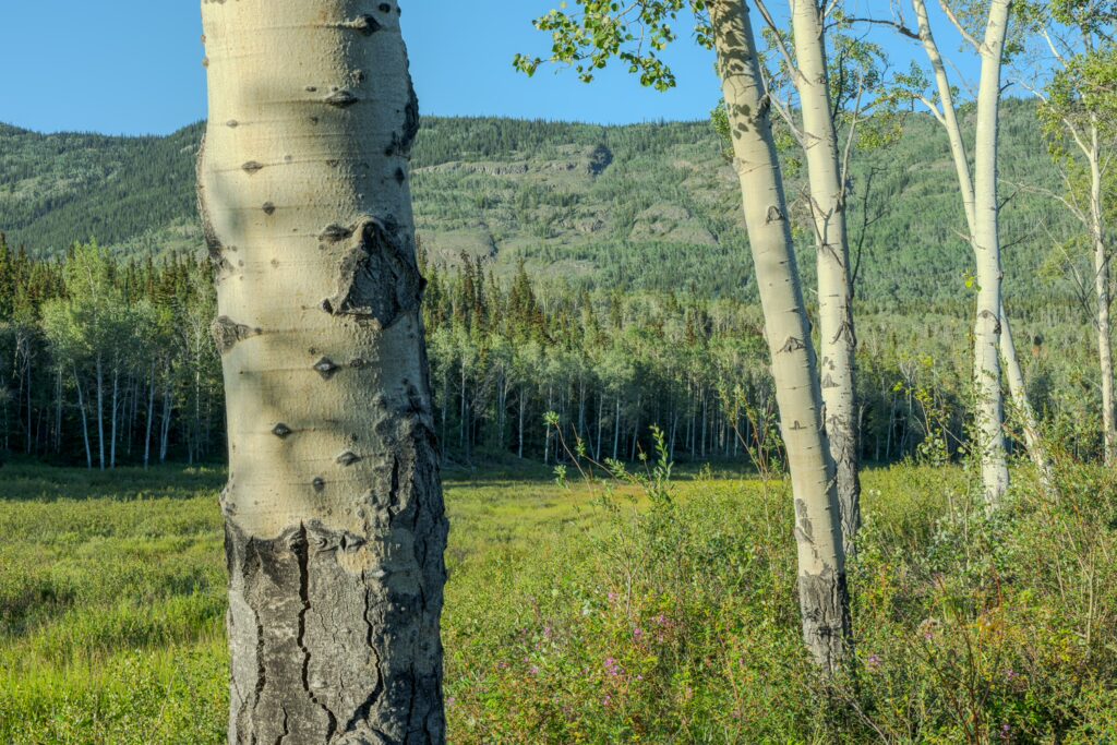
Traveling in a canoe
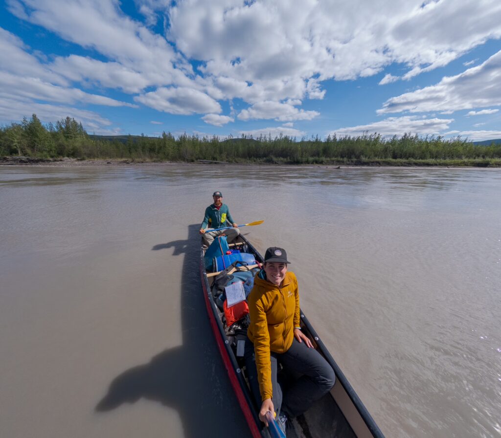
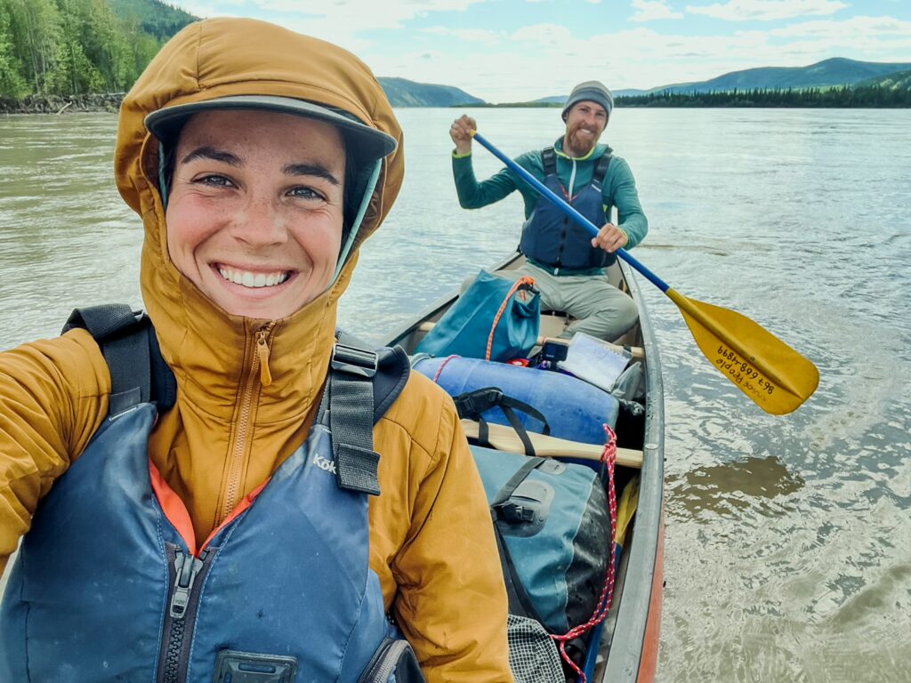
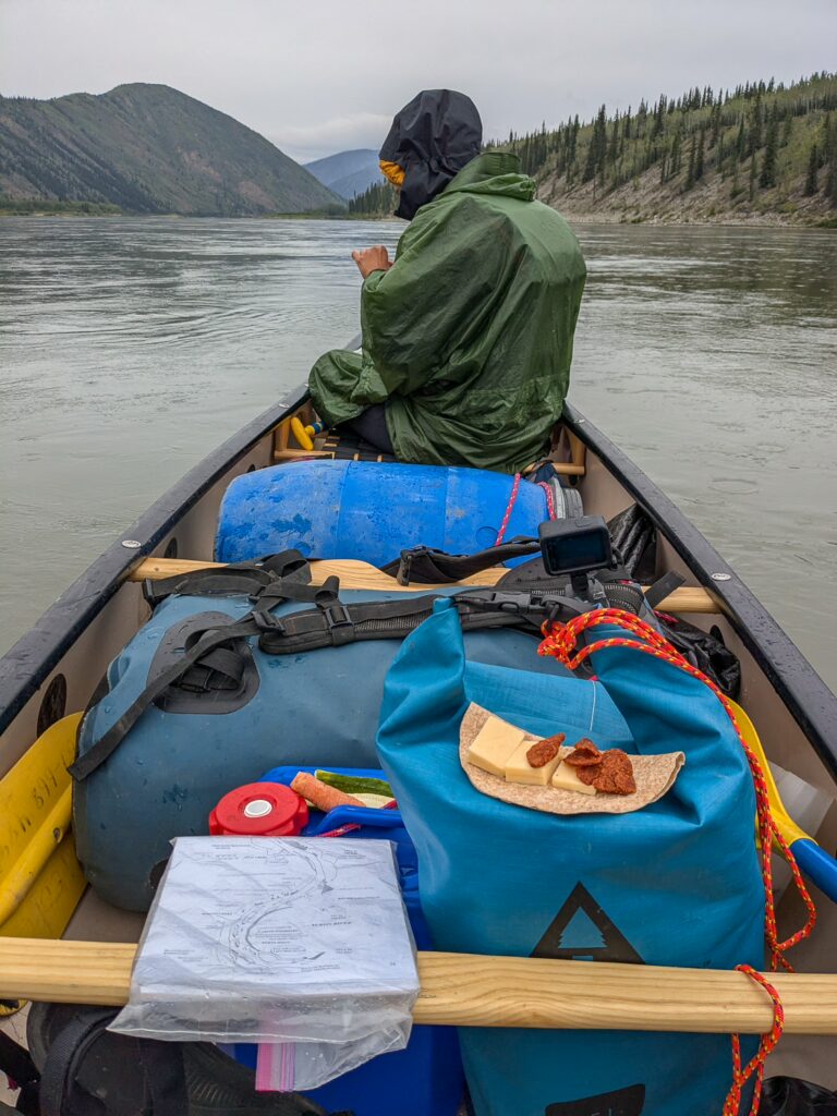
Canoeing has to be organized. The person sitting at the back generally decides where we’re going, as steering is much easier from the back than the front. For example, to turn left, one can paddle on the right side and, at the end of the stroke, pull the paddle towards the canoe. This has the effect of turning the whole canoe to the left. This way, you move forward and steer at the same time. Alternatively, the paddle can be used like a rudder, pulling it behind the canoe to steer. The person in the front can also steer a little with the first method, but much less effectively than the person in the back. Since the person in the back steers, they usually have the map in front of them and are responsible for making sure we’re on the right course. Steering a canoe straight is not that easy, and it took us a few days to get the hang of it. The person in front, on the other hand, was responsible for supplying the person in the back with food, which we stored in a small pouch at the front. Michel always kept the camera readily available in a dry bag between his legs. Usually, the 100-500mm lens was mounted to be able to photograph animals from a distance.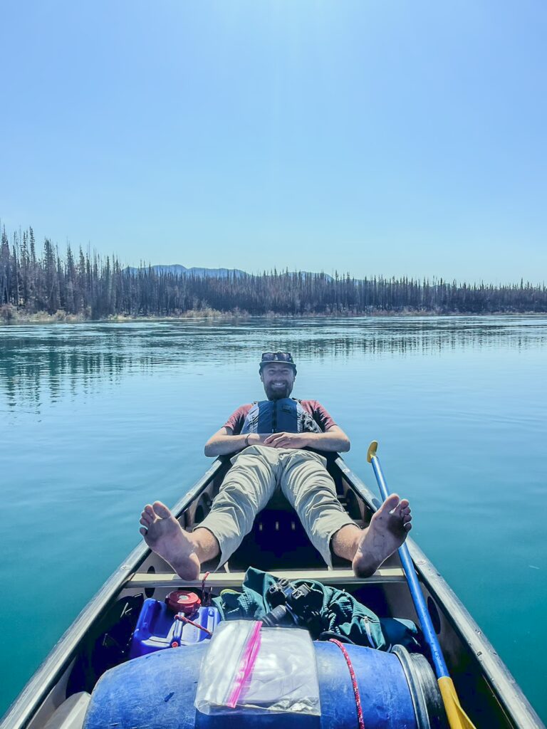
Wildfires
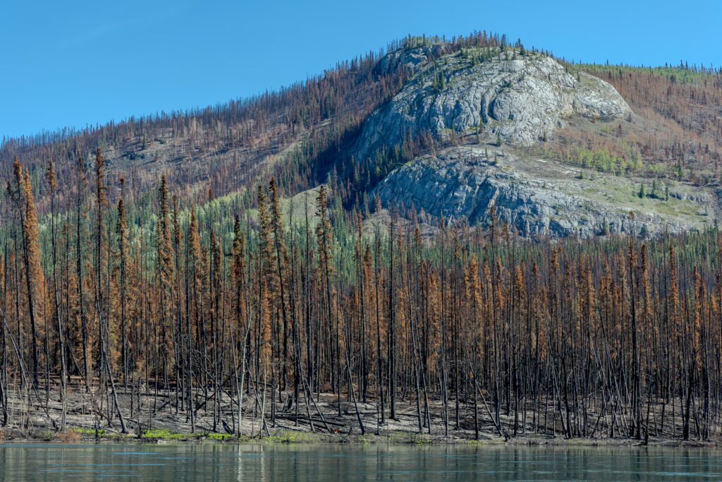
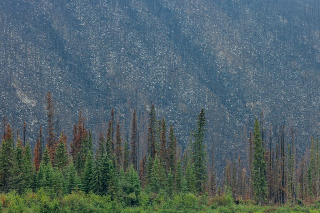
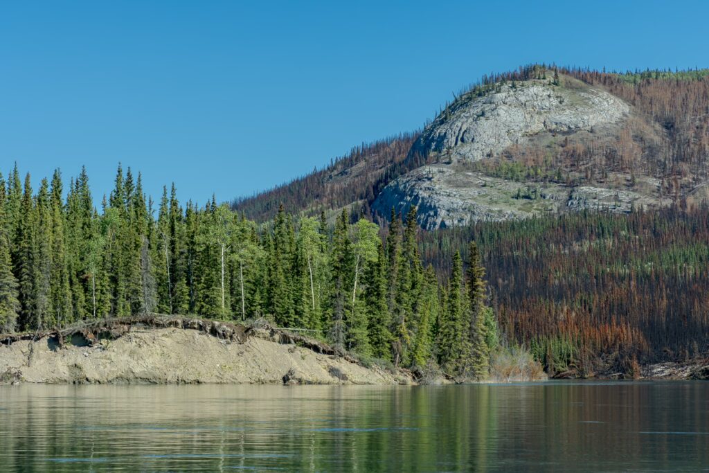
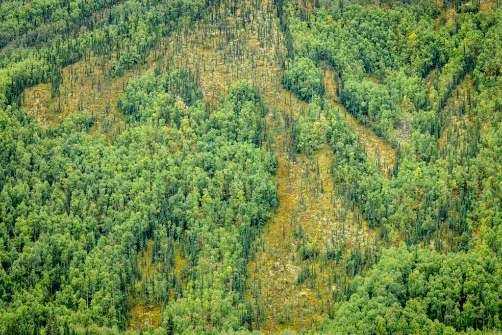
Wildfires are a big issue in Canada, and the Yukon, despite its countless lakes, rivers, and generally cooler temperatures, is no exception. When we first walked into the canoe rental in Whitehorse, just days earlier, the Yukon River Quest had been canceled due to a wildfire along the route. People who had just finished the trip from Whitehorse to Dawson City told us they had been paddling in smoke for several days. We decided to wait a few more weeks, hoping the wildfires would subside, and during that time, we traveled to the end of the road at the Arctic Ocean and back. Our plan worked out, and when we set off, there were far fewer active fires along the route. Still, one has to be vigilant, as these fires can flare up suddenly and spread incredibly fast with the right winds. Canadian authorities run various websites where wildfires are mapped. We had someone back home monitor the wildfire maps and notify us via satellite messenger if any new fires broke out. We were lucky, though, and there were no new fires along our path while we were on the water. However, we did pass through many recently burned forest areas and even came across a few small fires still burning. Seeing charred trees, blackened earth, smoldering trees, and still-burning fires from the canoe was very striking. Drifting on the water, it’s hard to imagine that it can be so dry that a forest can catch fire from a lightning strike, and that once such a fire is fully raging, rain can do nothing to stop it.Food
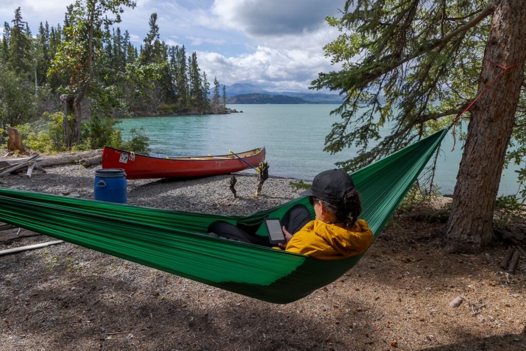
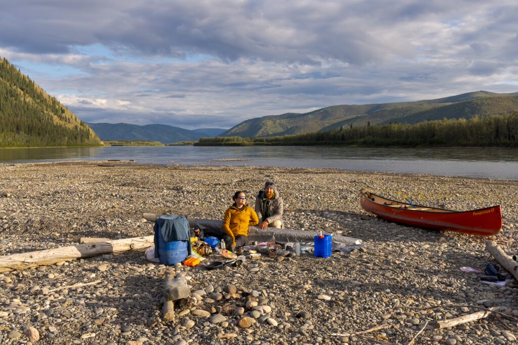
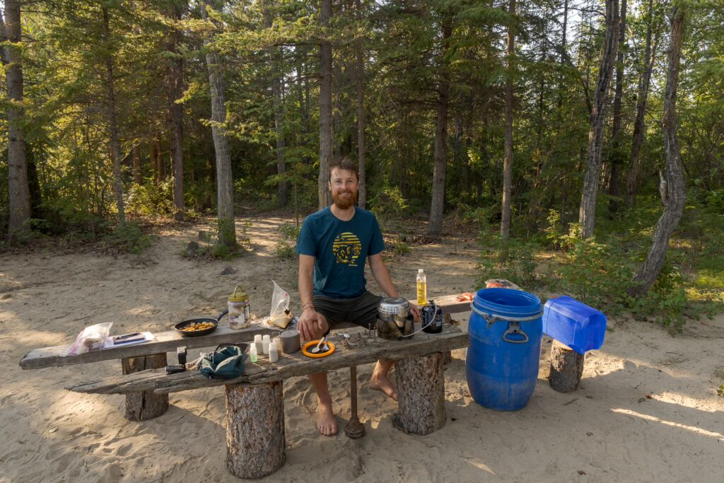
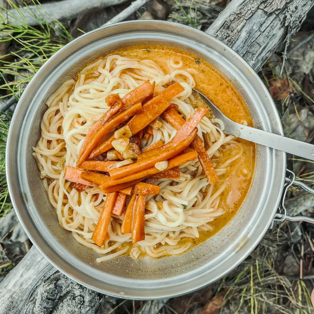
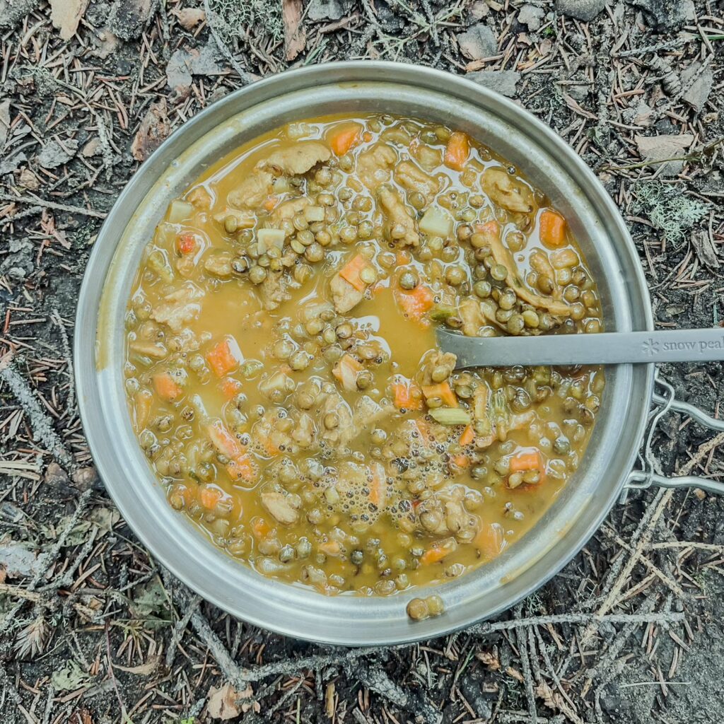
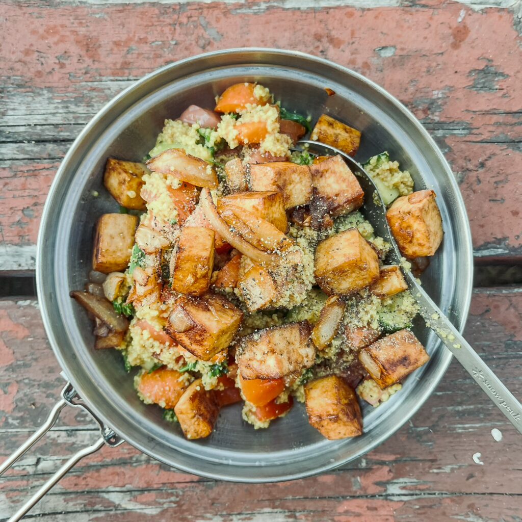
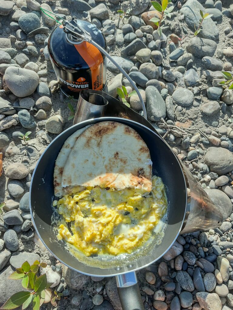
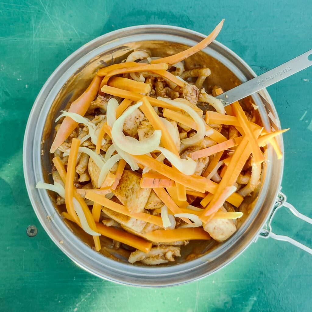
Thanks to the ample space and the fact that we could have our gear carried by the water, we were able to indulge quite a bit when it came to meals. For example, we took fresh vegetables, tofu, cheese, cream, paneer, and even a few beers with us. This allowed us to prepare fairly sophisticated dinners, at least when you consider how far we usually were from civilization and the nearest store. That’s one of the great things about being on the river—living relatively comfortably in camp. Another advantage of traveling on a river is, of course, always having access to water. Drinking river water straight would not be a good idea—it could be contaminated, and getting sick somewhere in the wilderness could potentially be dangerous. This is where the water filter that Lisa had received as a farewell gift from her friend came in handy. This small and practical filter allowed us to filter out sediments and pathogens from the water. We usually filtered the water while we were on the move and stored the now drinkable water in our 10L water jug. Unfortunately, the dirty water bag ripped after about a week because our filter (which we only discovered afterward) had a manufacturing defect and was too tight. We tried to patch the bag with duct tape and managed to get a few more drops through, allowing us to get by for a while.
Security in the wilderness
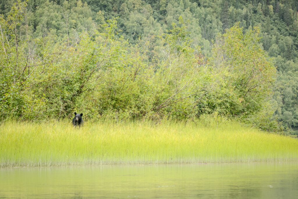
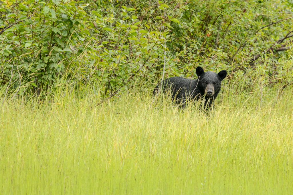
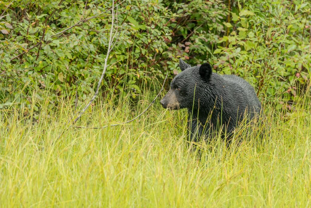
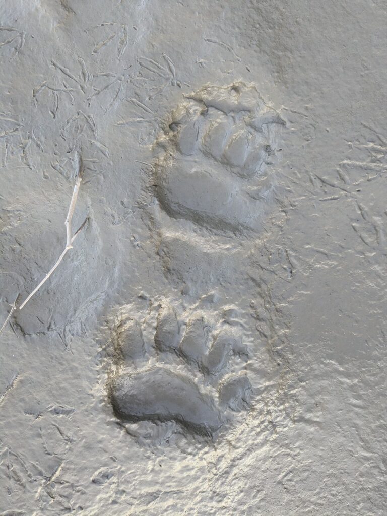
The wilderness is a wonderful place, but also one where things can quickly become dangerous. On our canoe trip, there were three main dangers: wildfires, bears, and capsizing. The section of the Yukon River that we paddled is considered easy and beginner-friendly, and we only had to navigate the so-called Five Finger Rapids (which we managed perfectly thanks to good preparation). Still, there was always the risk of capsizing. In the worst case, we could lose all our gear and end up stranded, wet and cold, with no fresh clothes. To protect ourselves from that, we always tied all our belongings securely to the canoe, so in case of an emergency, we could pull all our stuff ashore with us. Thankfully, we never had to test this. The next danger we had to be mindful of was the wildfires that are common in the summer. These can flare up at any time, often sparked by lightning strikes, but sometimes caused by humans as well. Once a fire gets going, it can spread incredibly fast with the right wind conditions and, in some cases, may not be able to be stopped by emergency services at all. For instance, before we left, the road between Whitehorse and Dawson City had been closed for a while due to a wildfire. So, if emergency crews can’t even keep a road open during the tourist season, they certainly won’t be able to prevent a river in the wilderness from going up in flames and smoke. We had to come up with a plan to monitor the wildfire risk. We asked my father to check one of the wildfire maps online daily and inform us via our satellite messenger if any new fires broke out along our route. At least that way, we’d be informed and could adjust our plans. However, there remained some residual risk, as fires can flare up very suddenly and spread quickly.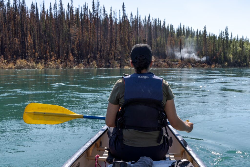
The character of the river
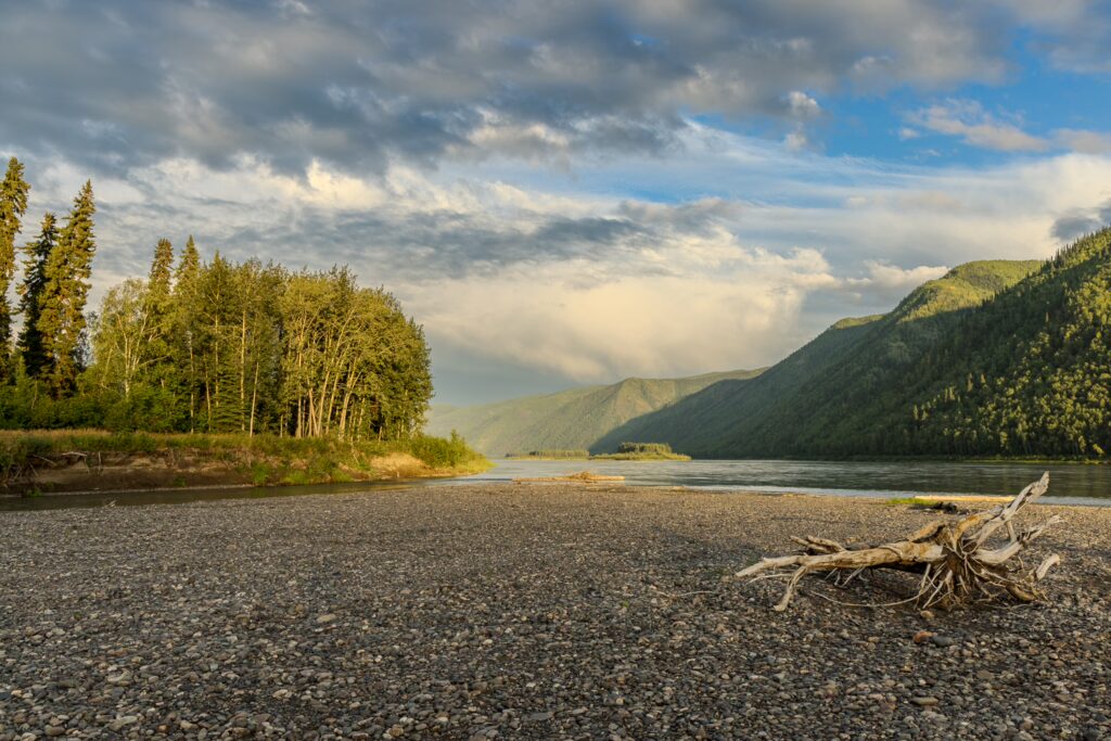
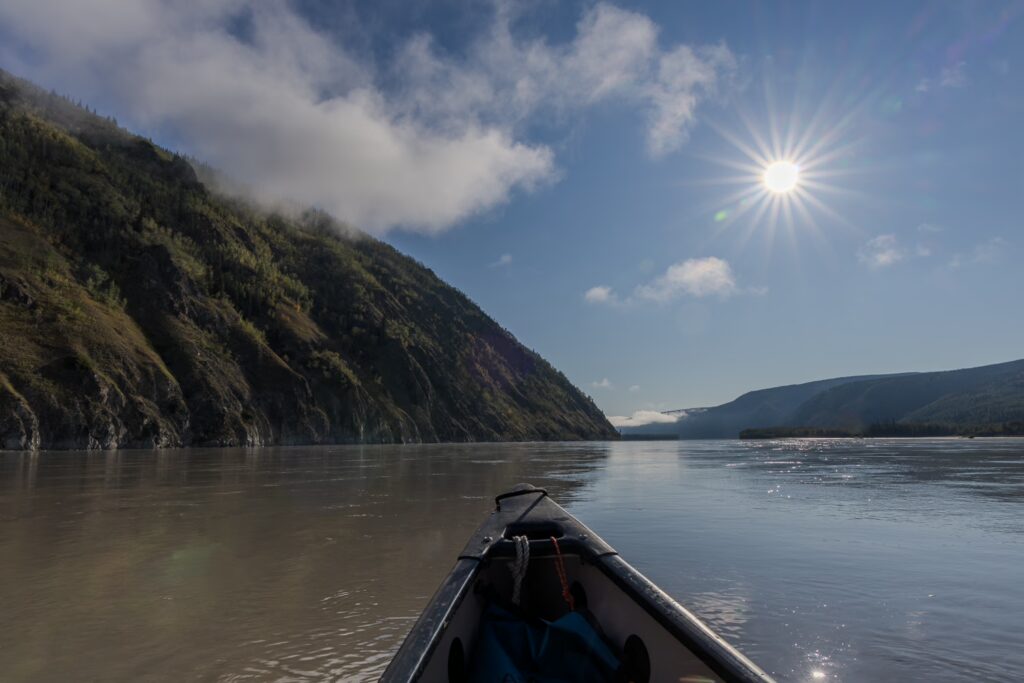
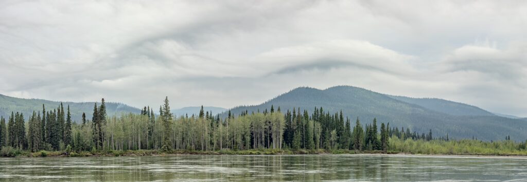
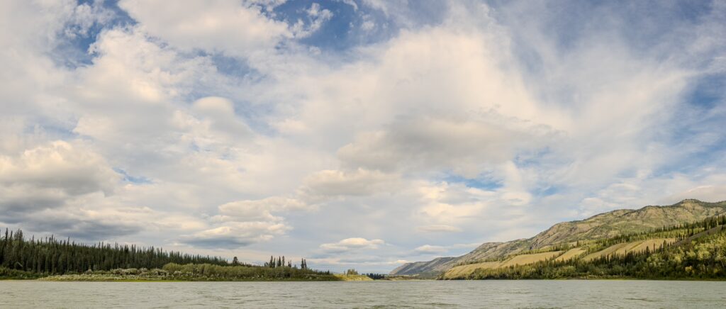
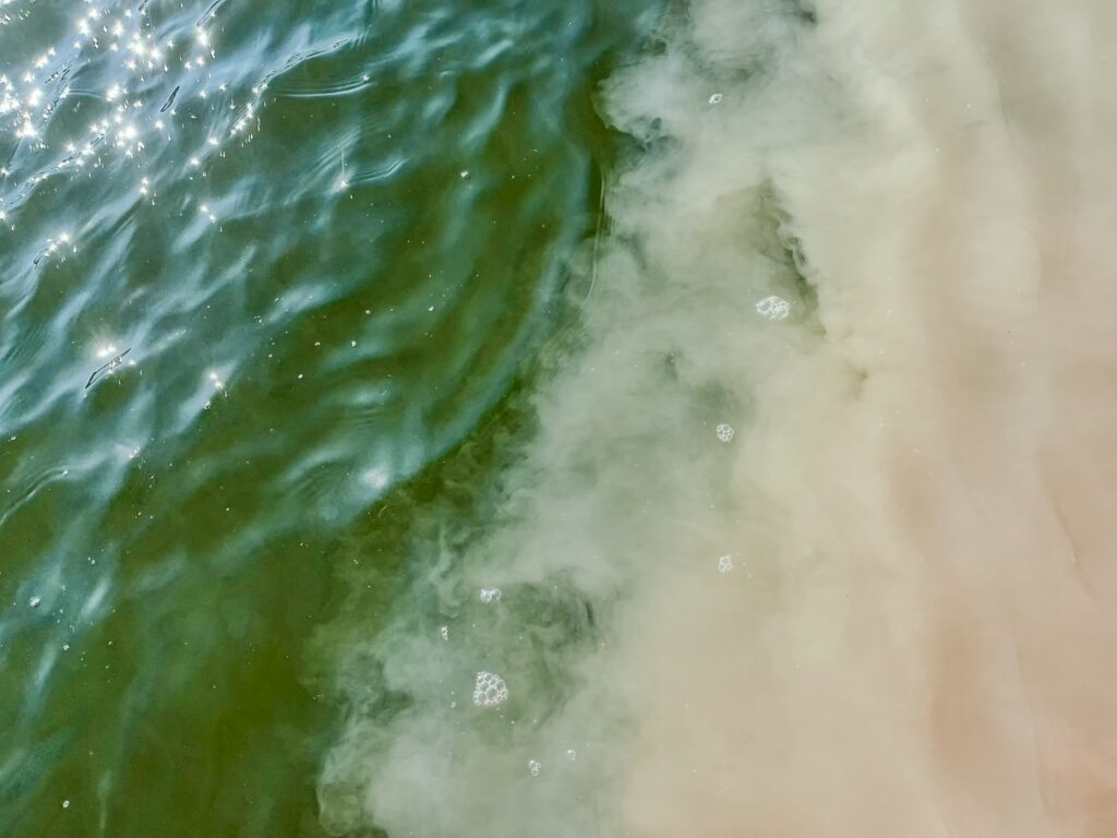
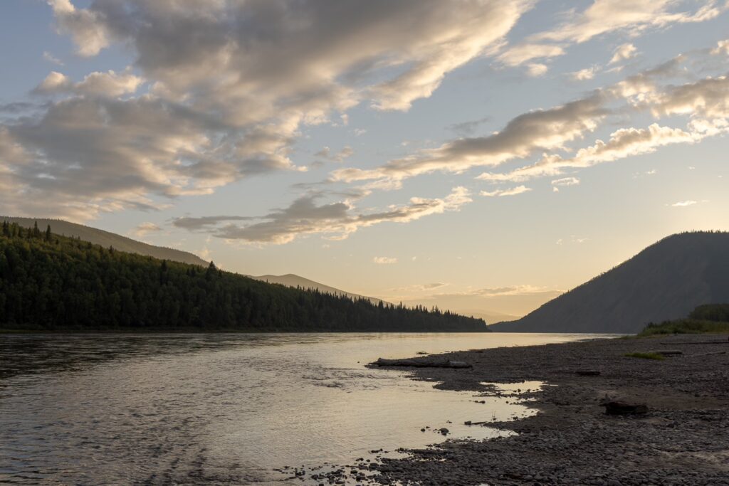
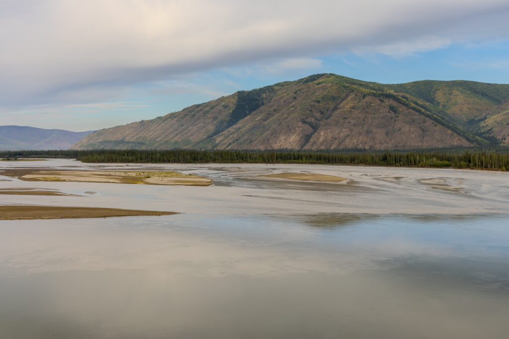
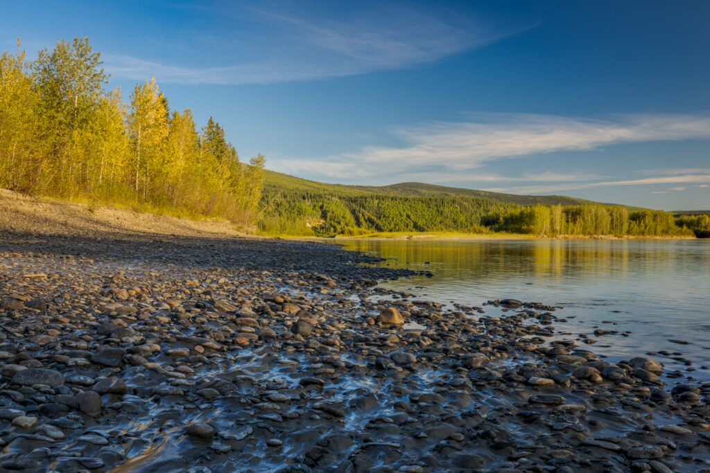
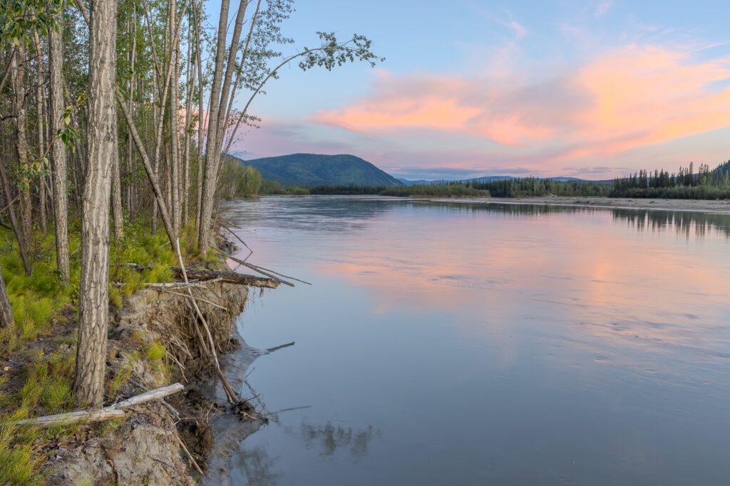
Along the roughly 750 km one travels between Whitehorse and Dawson City on the Yukon River, the character of the river and the surrounding environment slowly but steadily changes. While in Whitehorse, you start on a relatively fast-flowing, blue river about 100 meters wide, by the time you reach Dawson City, you are navigating a slow-moving, brown surface, interspersed with islands and usually more than 1 km wide. In the first few days, we can still often see the rocky bottom near the shore and notice how quickly we glide over it in our canoe. With every confluence of another river, the water becomes a little more milky until, with the over 2 km wide mouth of the White River, it eventually becomes completely opaque. In side channels, and even in the main channel, the water often becomes astonishingly shallow, to the point where we can touch the bottom with our paddles. Several times, it’s so shallow that we scrape the keel over rocks.
 Deutsch
 English


Leave a Reply